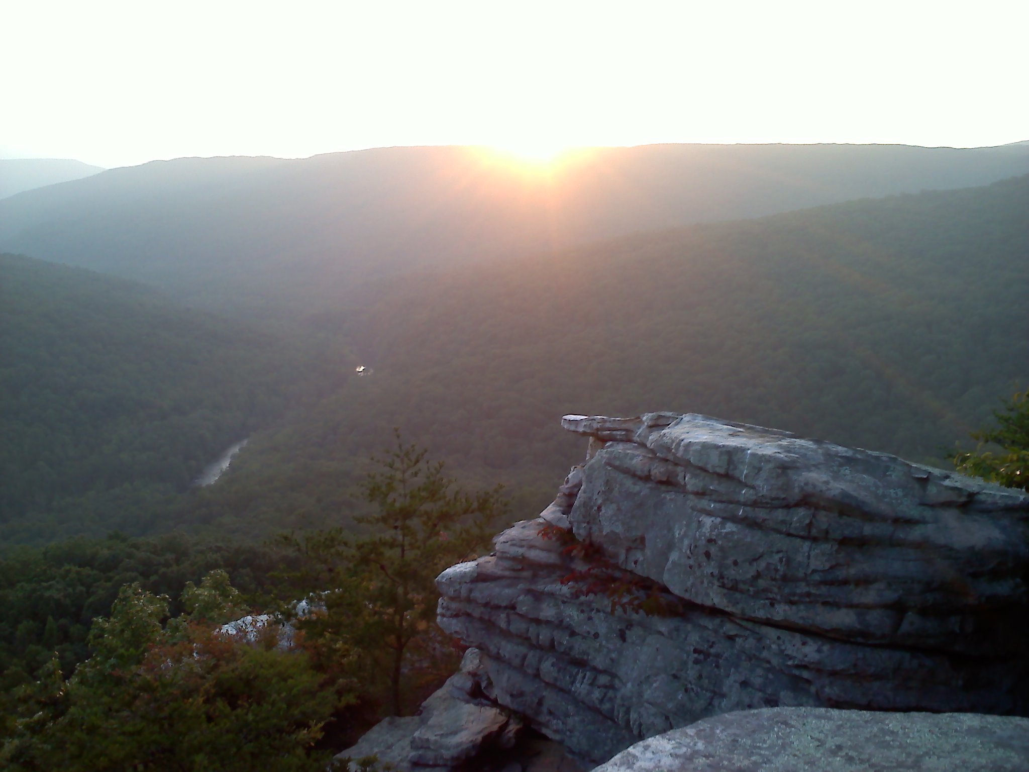
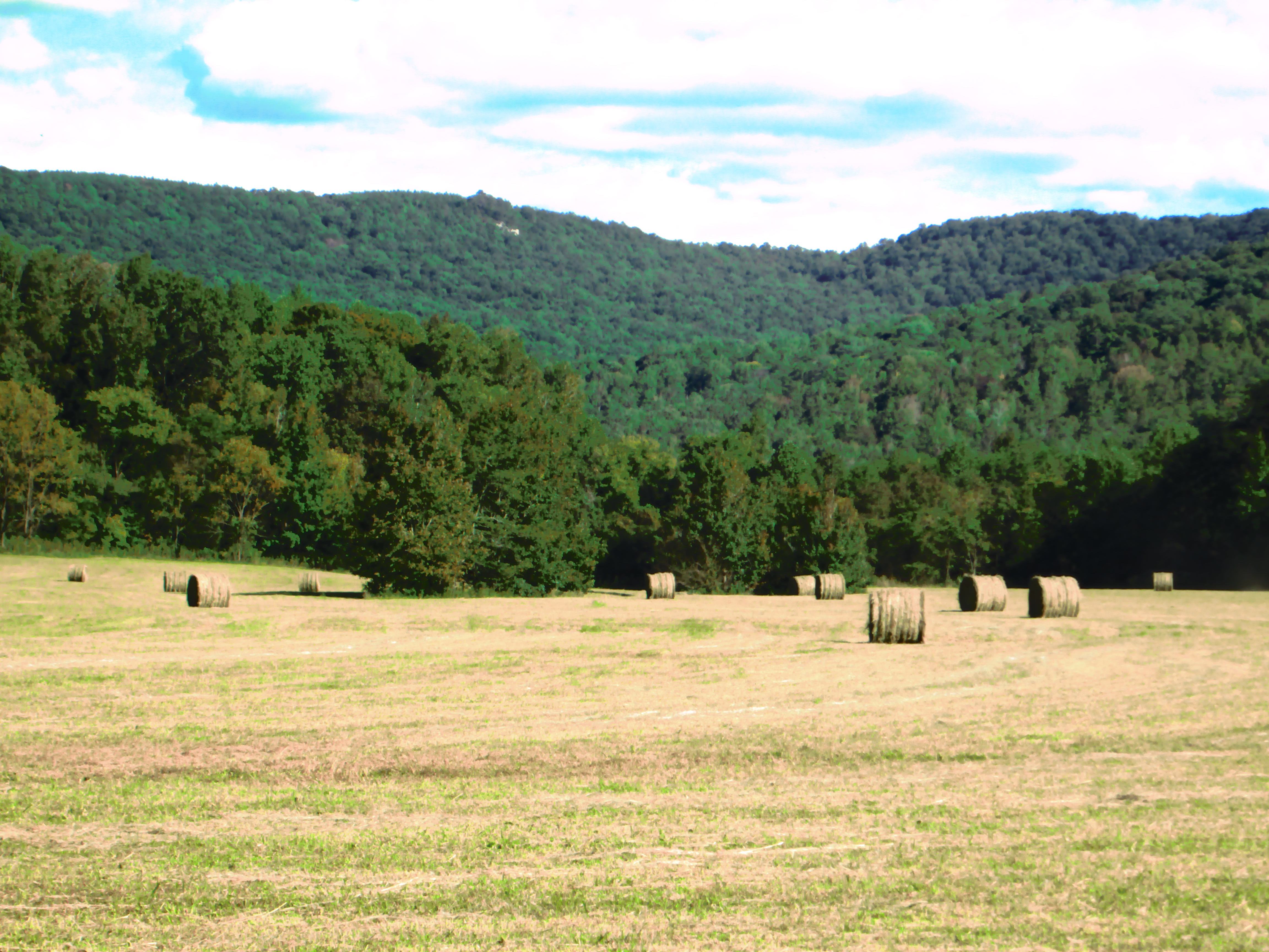
Sunset Rock, near Sparta TN. (taken near summer solstice)
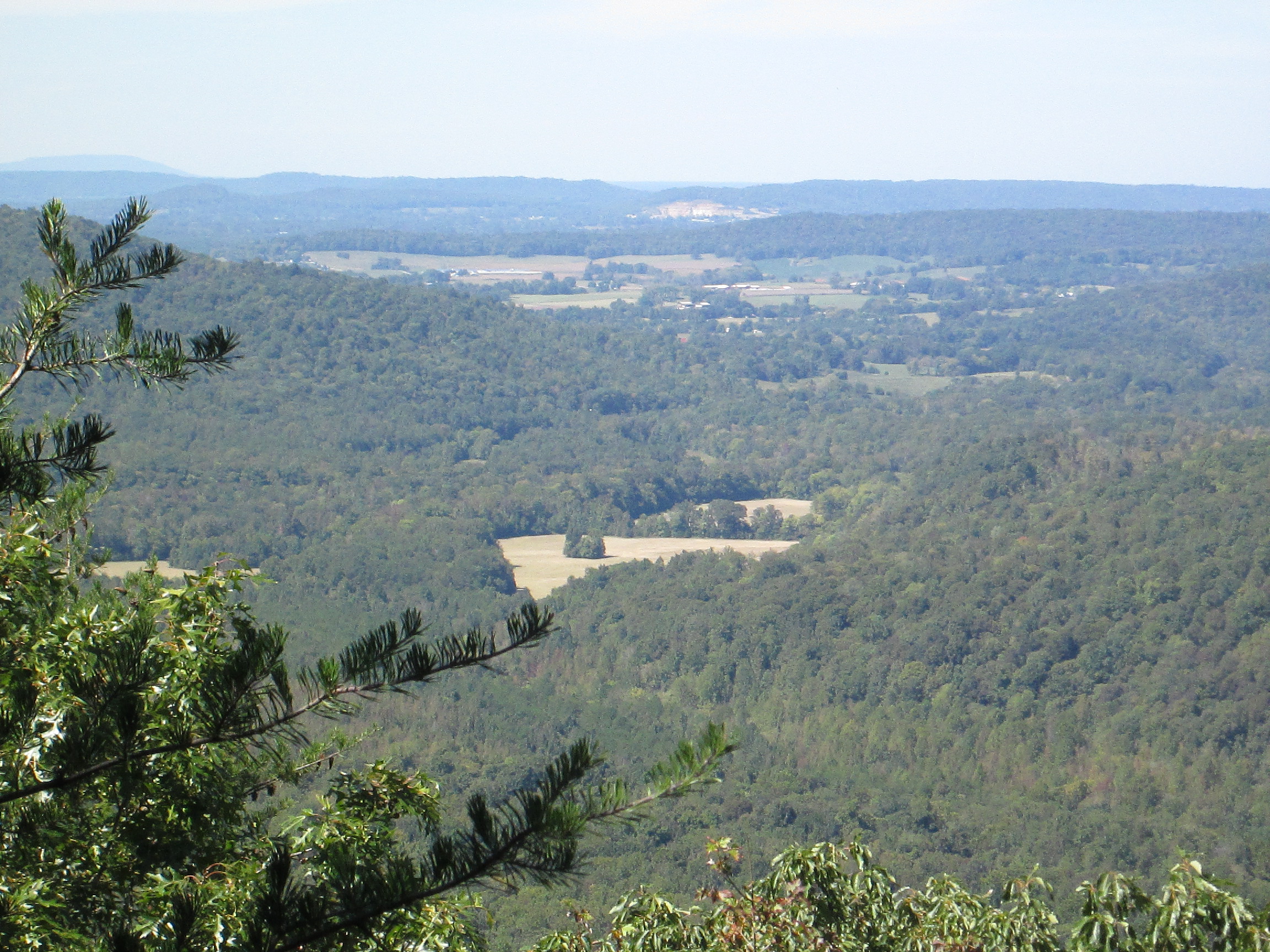
What a suitable moniker, Sunset Rock. From solstice to solstice you can follow the sun across the western horizon. In the summer, the sun almost disappears behind the trees to the north, in the winter; it almost makes it to Spencer Mountain. As the earth tilts, from this longitude it appears that the sun travels about sixty degrees from June 21st to December 21st. Every sunset is different, some with clouds; some crystal clear. My favorite sunsets are the ones where there is a gap on the horizon between the earth and the clouds and the last few moments of twilight are broken by blazing orange tufts across the sky. Like a campfire, there is something primal about a sunset.
In high school, I used to come to Sunset Rock to practice climbing and rappelling. The west-most point, where the parking lot meets the highway is not much more difficult than a ladder to climb. I once brought a friend to teach her to rappel and rather than rigging along the vertical face, I thought I would start her on that corner to build up her trust in the ropes. To this day, I do not know what happened to the rope, but as she descended, the rope swung her clockwise around to the side where she suddenly found herself dangling about 30′ off of the ground and too far away from the wall to plant her feet. Her screams became hysterical laughter as she realized that the rope had held; the only injury – – she lost a contact lens.
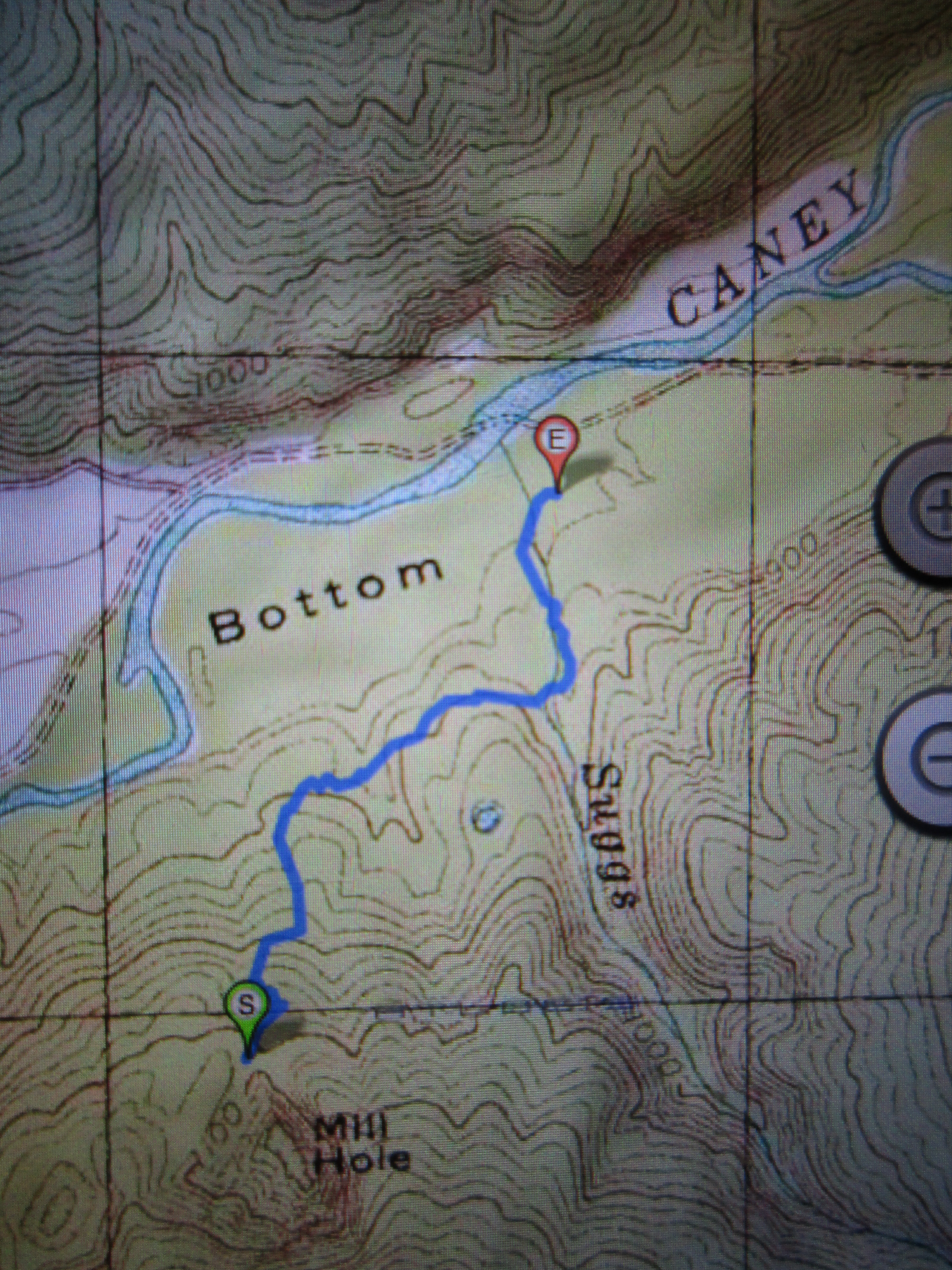
In college I had a 1000 cc BMW Cafe Racer. I would often play the game of trying to time my ride from Cookeville to arrive at Sunset Rock just at sundown. To make it more interesting, I would travel different routes. US 70 to Mill Creek Road, down into Calfkiller and Hwy 84 one day; another day I would take Cherry Creek Road, and on some days I would test my luck on roads that I had never traveled before. When I sensed that I might not arrive in time to see the sun go down, my risk-tolerance would increase and I have drug a few grooves in the pavement with my footpegs on more than one day. I remember once in particular topping a hill to see the largest herd of deer that I have ever seen crossing the road in front of me; that was the only time I had ever seen those dual disc brakes literally emit smoke. Whew!

Sunset Rock before highway 70, courtesy of Charlie Floyd
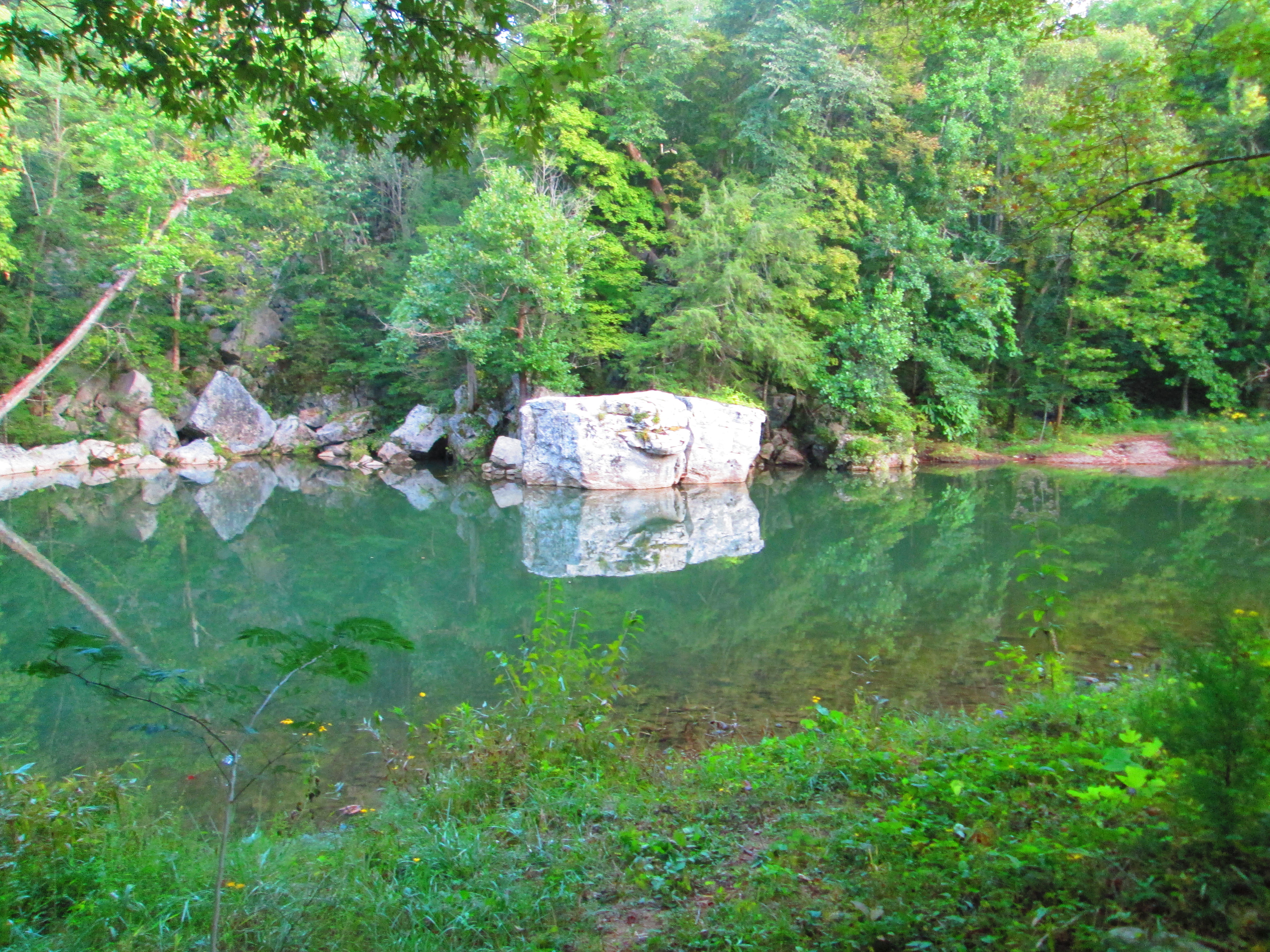
The protrusion we call Sunset Rock was formed when Hwy 70 was built. You can still see the vertical boring marks along the western face over the parking lot. The cliff apparently became separated from the mountain when they straightened Crossville Hwy and cut another vertical face on the east side of the rock leaving the closest proximity that White County has to a butte.
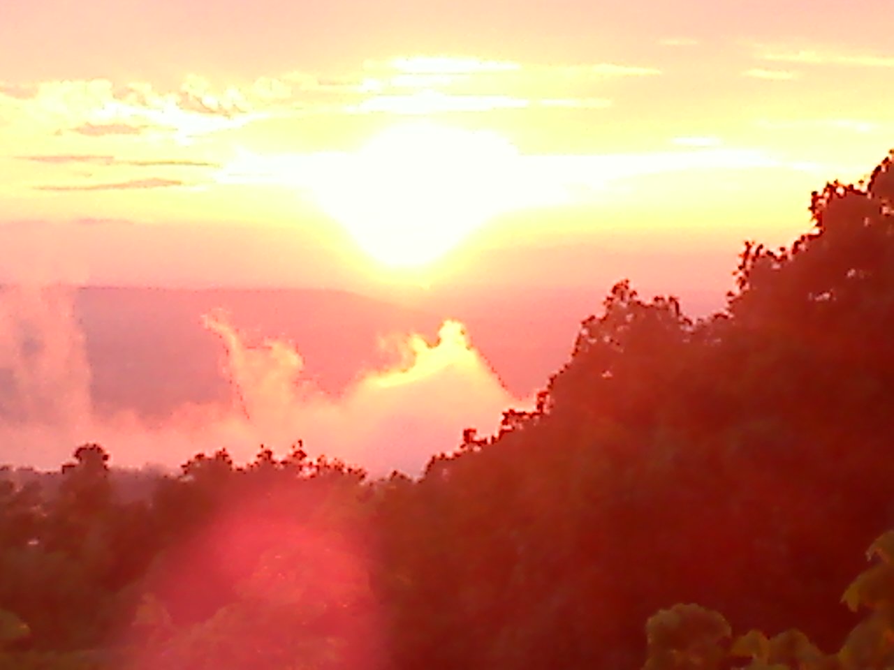
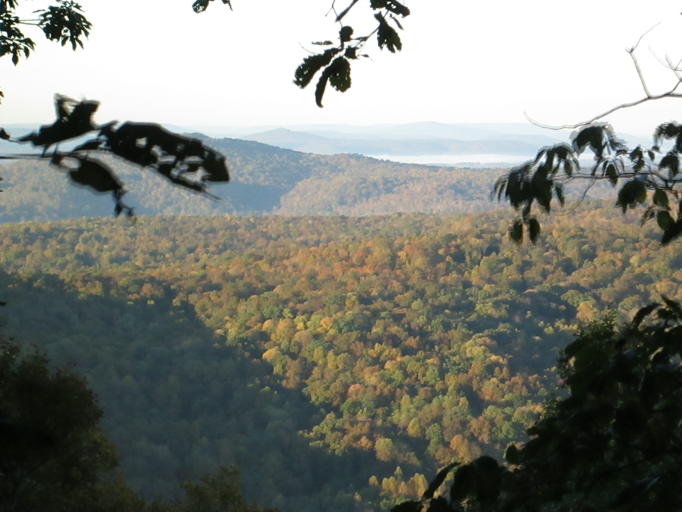
I no longer climb the rock faces of Sunset Rock, but I do occasionally climb the same rock post in front of Sunset Rock to take my sunset pictures. This gives me a stationary point to monitor our solar system’s star as it swings from summer to winter. The two photographs below were taken only nineteen days apart from atop of that same stone fence post. With Baker and Short Mountains in the distance, you can see what a difference less than a month makes in the sun’s progress.

October 22, 2014
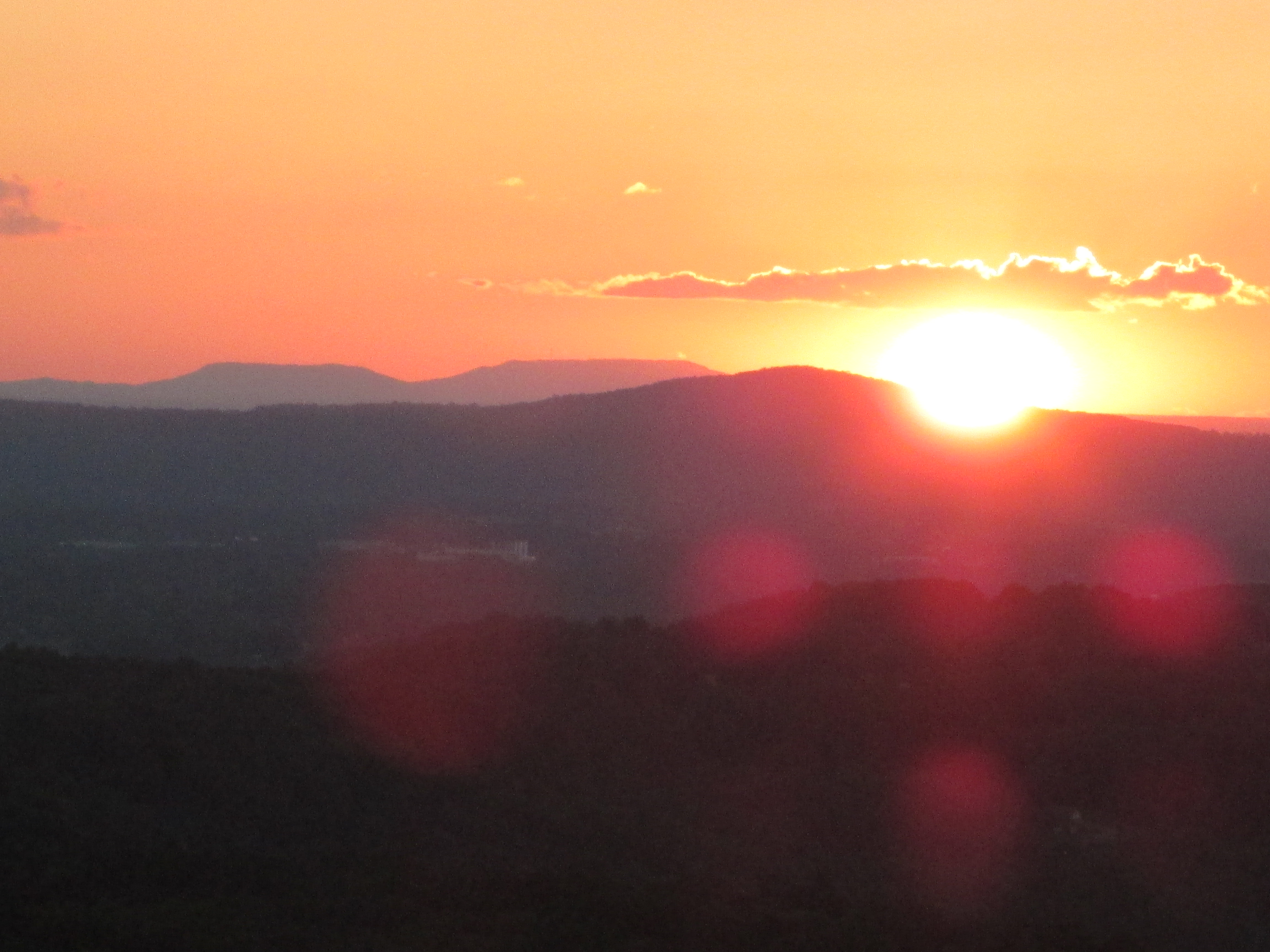
October 03, 2014
If you have a favorite Sunset Rock photo or story, please use the posting feature to place your text and email me the pictures and I will add it to this blog, giving you full credit of course. Note that this is a moderated website so that your posts won’t appear until I’ve been able to log in and approve them. After they are posted, you can return to CragrockUSA and link them back to Facebook for every one to see. If this is working as intended, after you have had one post accepted, you will be able to automatically post in the future.
[mashshare]
Robert Sparkman added: Love your article. We used to practice rappeling on Sunset Rock because the face was flat and good to learn on. Spent many a day watching the sunset there. I remember it before they cut the road behind it. We have not lived in White County for twenty years now, but love remembering such a great landmark.
Charlie Floyd Sunset Rock did not used to be a rock. Rather it was a bluff around which the road ran (parking lot side). The “rock” was separated from the rest of the mountain when Hwy 70 was straightened in the early 60’s (I believe). SOmewhere I have a photo of my Father hanging on a rope off the original bluff. I believe I found it. (posted – – and priceless, thank your Charlie).


 [mashshare]