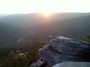
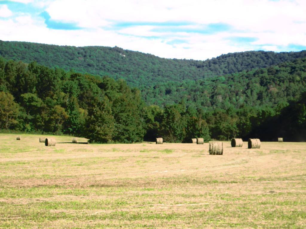
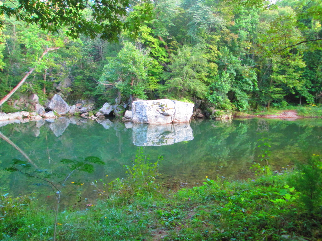
For years, a group of friends would make an annual motorcycle trip from the Cumberlands to Cade’s Cove in the Smokey Mountains. Then one year, one of the riders asked “why do we go to Cade’s Cove when we live here”? That was an excellent question, there is even an area close by that strongly resembles Cade’s Cove, only this valley has a river that runs through it that is stocked with trout, and you aren’t choking on carbon monoxide from the thousands of cars that are passing through the Smokey Mountains. The local Cade’s Cove is known as Big Bottom; it is formed as the Caney Fork River exits the Cumberland Plateau into the Tennessee Valley.
For years, I have looked at the mountains behind Big Bottom and asked how to get to a particular rock outcropping that is visible on the south side of the river. Every one who I’ve asked, had no idea. I’ve always enjoyed looking at this valley from the bottom, but I’ve craved seeing it from the top; not to mention, what a wonderful addition that overlook would make to the Mid Cumberland Trail. I knew that peering through the gap that allows the Caney Fork to pass into the flatter lands of the Tennessee Valley would be worth the adventure. So I plotted, and platted, and used google earth, and a compass, and tax maps, and a GPS to make my best guess of how to reach the top of that rock. In the back of my mind, I knew that a view like that would have a well-warn path leading straight to it – – boy was I wrong.
The closest that I could drive, even in my 4×4 truck is in a community called Mooneyham, on a road called Graveyard Ridge Road. I had set the calculated coordinates in my GPS the night before, as I approached, I meandered up and down several logging roads watching the blip on the screen to optimize my hike. The closest point that I could park was 1.25 air-miles away. I left the truck, dashed into the brush and sometime after the GPS registered six miles, the batteries died; I was on my own.
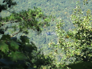
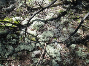
In places, the brush was so thick, I literally could not see twenty-five feet, and I had to pull out my hand-compass to make sure that I wasn’t walking in circles. When I finally got to the edge of the escarpment, the point where the top of the plateau plunges into the Caney Fork River Gorge, the pine thickets gave way to beautiful hardwoods. And I walked that edge, and I walked that 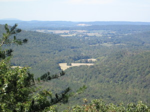 edge, and I walked that edge. A few times, I came across paths, or four-wheeler trails, I was convinced that they would be headed to the overlook; I followed each to their end, and they didn’t. I finally found this vista, but it did not compute; I should see more vertical drop between me and the tree tops. But none the less, I could see Big Bottom below, the rock quarry in Doyle, and if you look in the upper left corner of the photograph, I could see Short Mountain in the distance which would be at least 25 miles away. I doubt that I am the only human being who has ever stood in that spot, but judging from the fragile, inches-thick moss at my feet; I suspect that it had been a long long time since it was disturbed. And as much as I hate to acknowledge it, when I finally got back to my truck, and drove the twenty plus miles around to Big Bottom, I confirmed that the overlook that I was standing at, could not be the rock outcropping that I am searching for. The bluff that I was standing on would be shielded from view from the valley by the trees that rise above the crest. My 6′ stature is the only reason that I could get the above photograph from that point. And to make matters worse, while I was walking that edge, at another point, I could peer through the trees and spotted yet another outcropping, on the far side of the river – – another quest for another day.
 [mashshare]