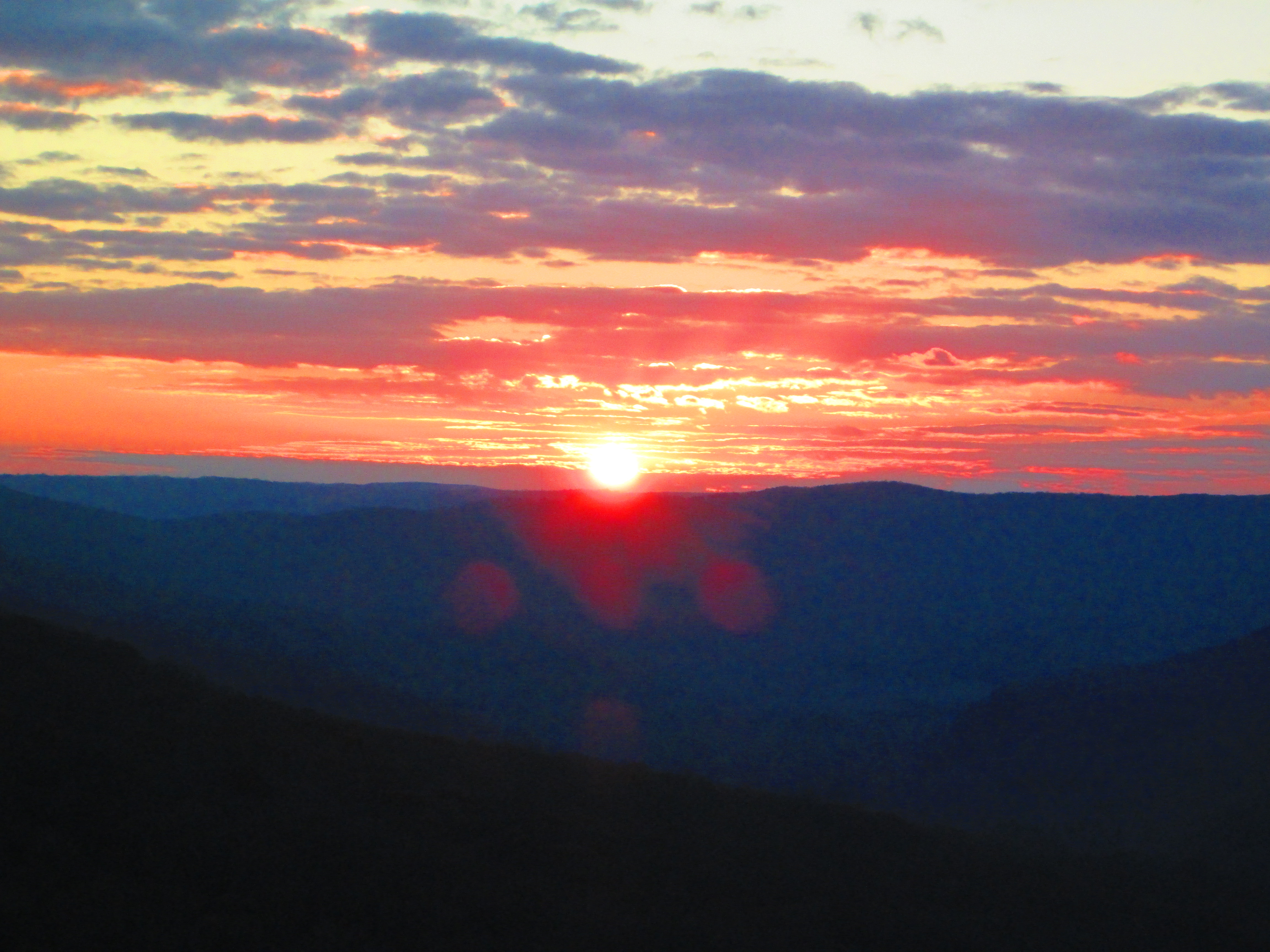
Sunset from Welch’s Point
[mashshare]
Sunset from Welch’s Point
[mashshare]
Photo by Penny Brooks.
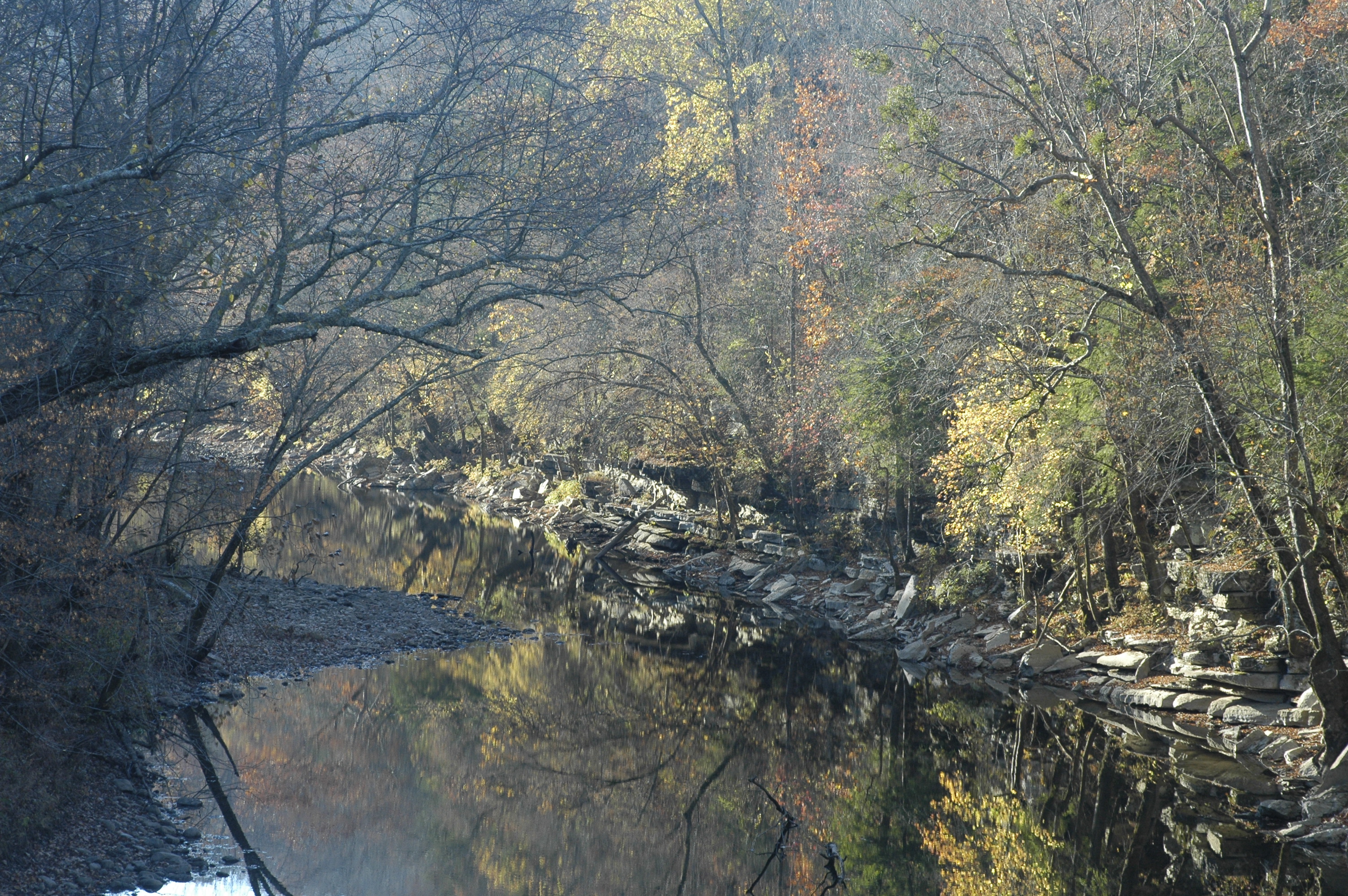
Photo by Penny Brooks
[mashshare]
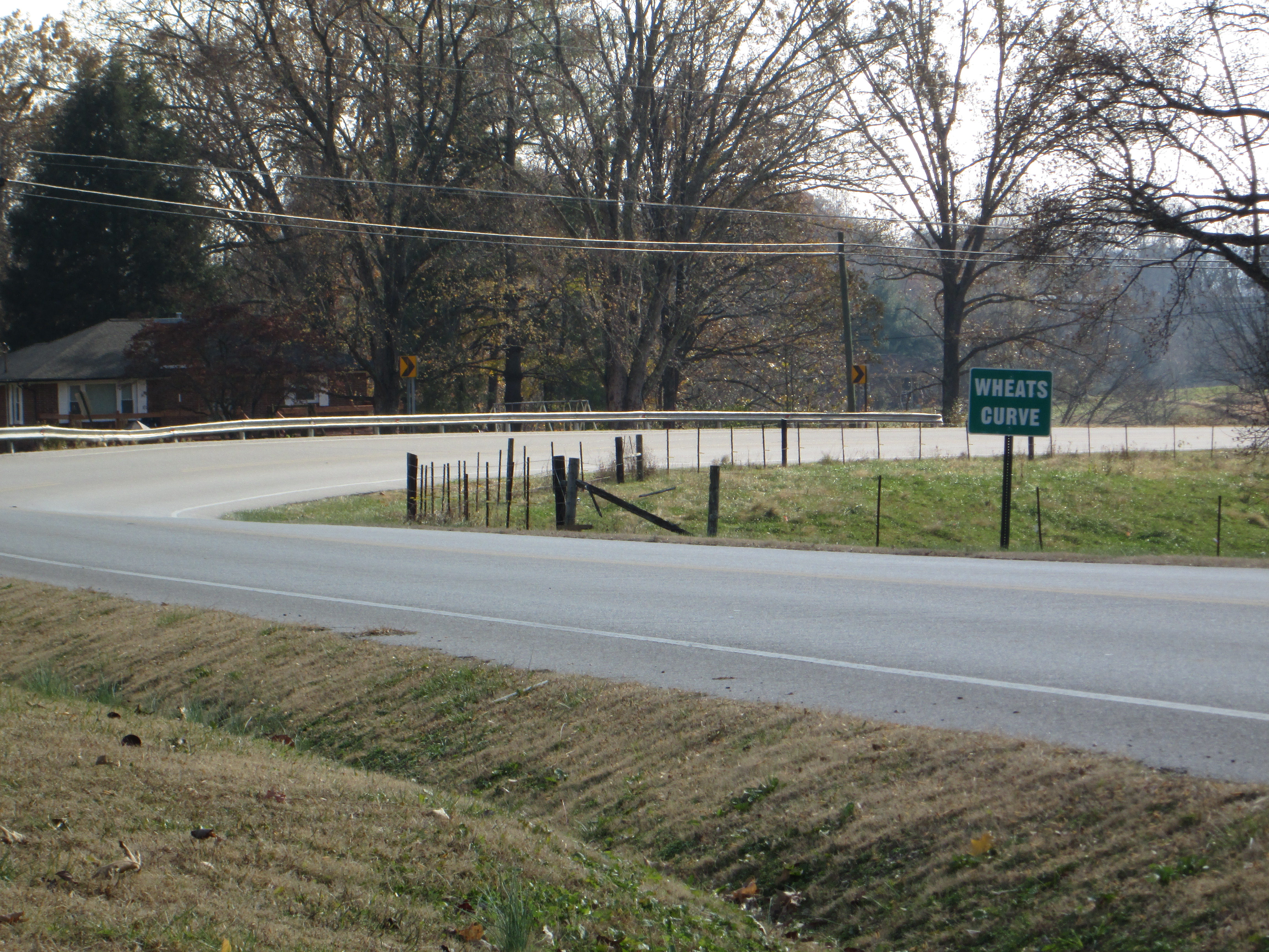
Wheat’s Curve
Wheat’s Curve, the rest of the story. Just outside of Sparta TN, There is an interesting twist in the highway listed on many maps as The Broadway of America. Also-known-as US 70, this was the first paved road in the United States to reach from the Atlantic to the Pacific.
As a rule, road builders try to make highways as straight as possible. So when you encounter an almost right angle in a highway, you know that there must have been a reason. This bend is so pronounced that someone erected signs announcing (or warning) its position. Dubbed “Wheat’s Curve” for the family of Morgan Wheat who lived along the cusp, this curve has continued to slow traffic for the better part of a century.
Of course, for a segment of the population, a curve notorious enough to have its own moniker becomes a dare. It has been the site of many accidents through the years, some were sincere mishaps; others were caused by waging on who could travel the fastest through the curve; and of course, this has been the site of many traffic fatalities.
The alleged Wheat’s Curve speed record was set by a moonshiner who made the quarter-circle at 105 miles per hour. Interestingly, yet another segment of this same highway and still in Tennessee is where the story that became the movie Thunder Road took place.
Along with the sadness of the injured and the killed are a few anecdotes that have humorous twists. Ricky Mcbride remembers standing by the guard rail waiting for a school bus when a truck carrying pigs overturned unleashing startled swine that soon covered three subdivisions. Ann Holland recalls that incident and adds that the neighborhood children made sport of trying to catch the little pigs. Carless Wiinnett remembers a similar day when a chicken truck overturned.
Civil Engineers spend years learning to calculate trajectory for vehicles likely to travel a given road so there must be a compelling reason to include a sharp change in direction at that locale. We may never know for sure, but after studying maps of the area, and noting that the Louisville & Nashville
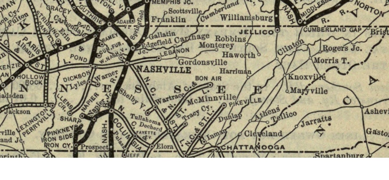
L&N Railroad Map. Note that Bon Air and Monterey predate Cookeville and Sparta
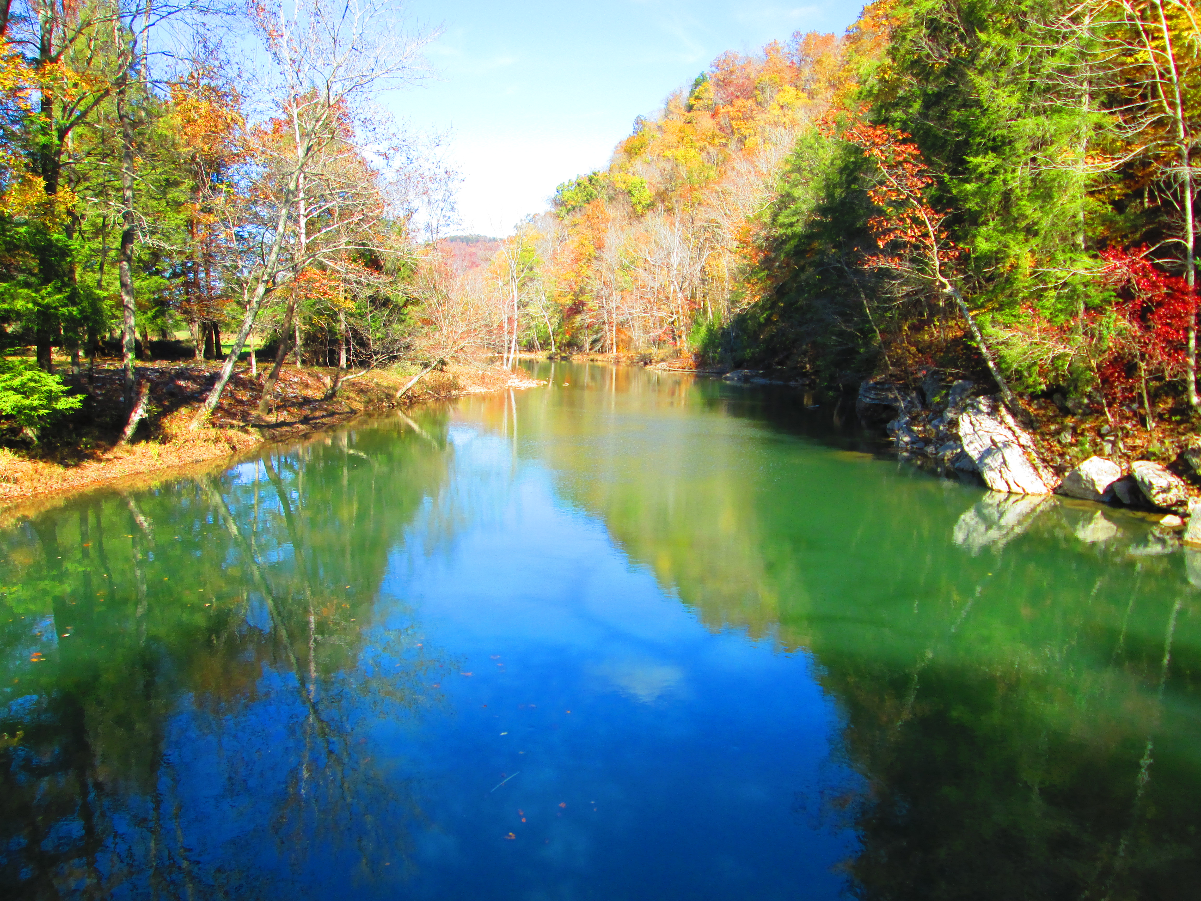
Railroad spur, that had been built decades before takes a similar turn in the same area; I think we might be able to deduce the reason for the curve. Apparently underlying geology resulted in these speed-breaking turns for both the highway and the railroad. White County Tennessee has more caves than any other county in the entire USA. Both the railroad and US 70 converge, just south of Sparta, on a ribbon of stable land bordered on one side by the Calfkiller River, and one the other by a huge, cave-induced depression called a “sink”.
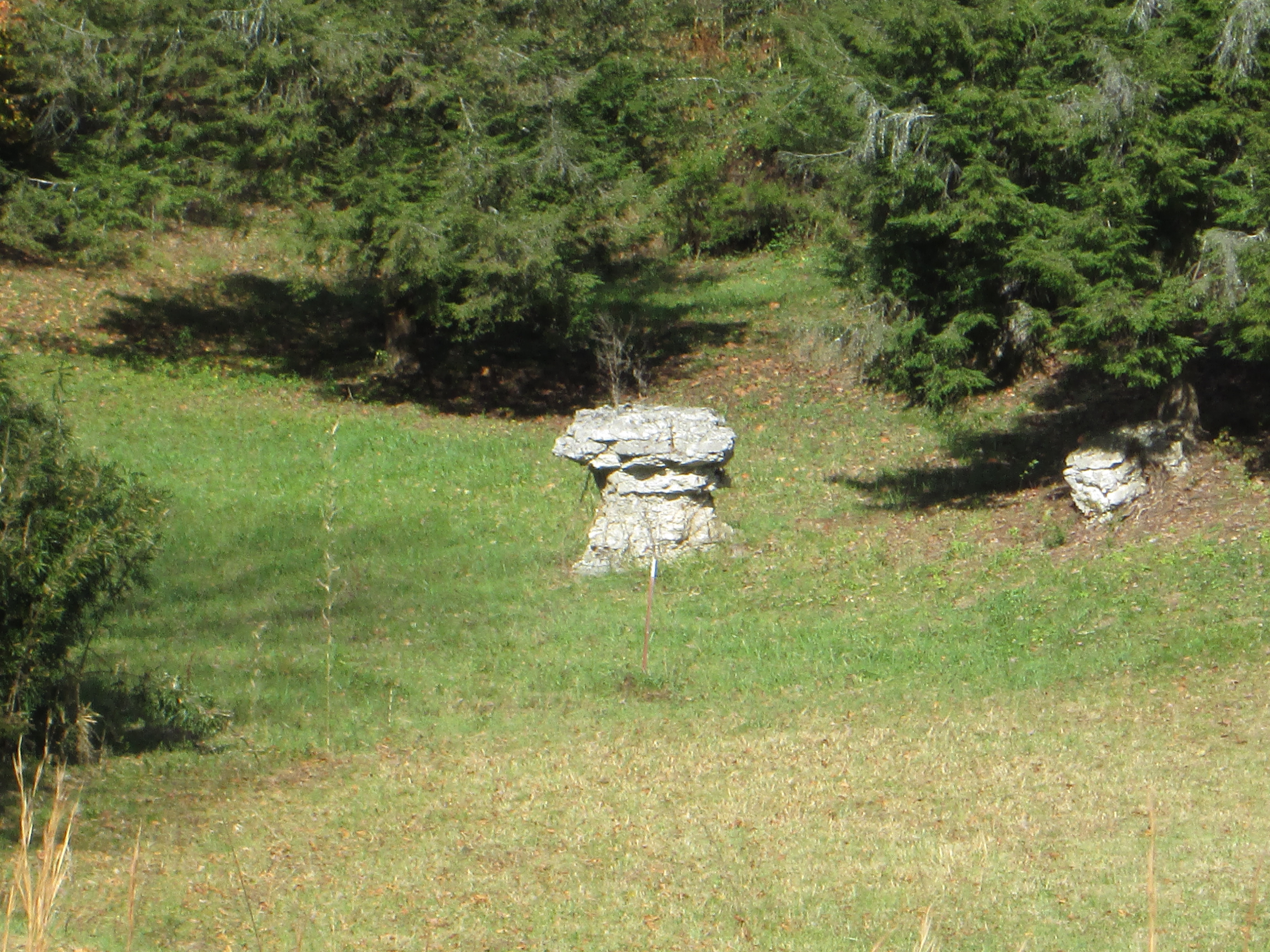
Note the topo-map below. The contour lines illustrate elevation change. The contour lines that have tick-marks denote the geologic anomaly known as a sink. The tick marks point inward, and as you can see, this sink is probably over 3000′ long. Sinks are avoided for construction purposes because they flag unstable earth. Engineers for both the railroad, and the highway sought to avoid the mountains to the west, the river to the east, and at all cost, they skirted that unstable land in the sink. The cost of avoiding those three natural wonders was a temporary reduction in speed on both the rail and the pavement. 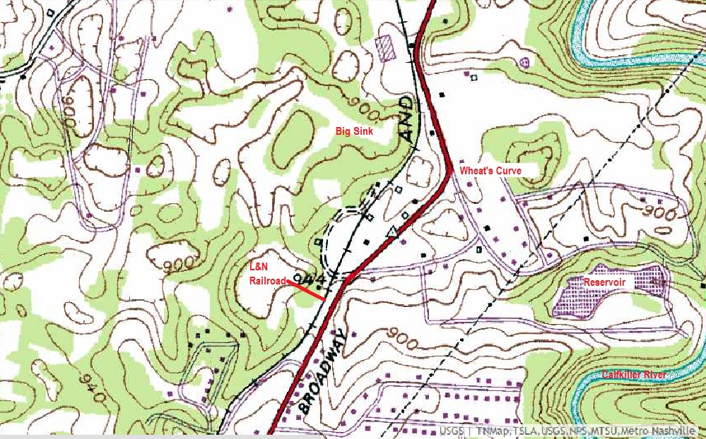
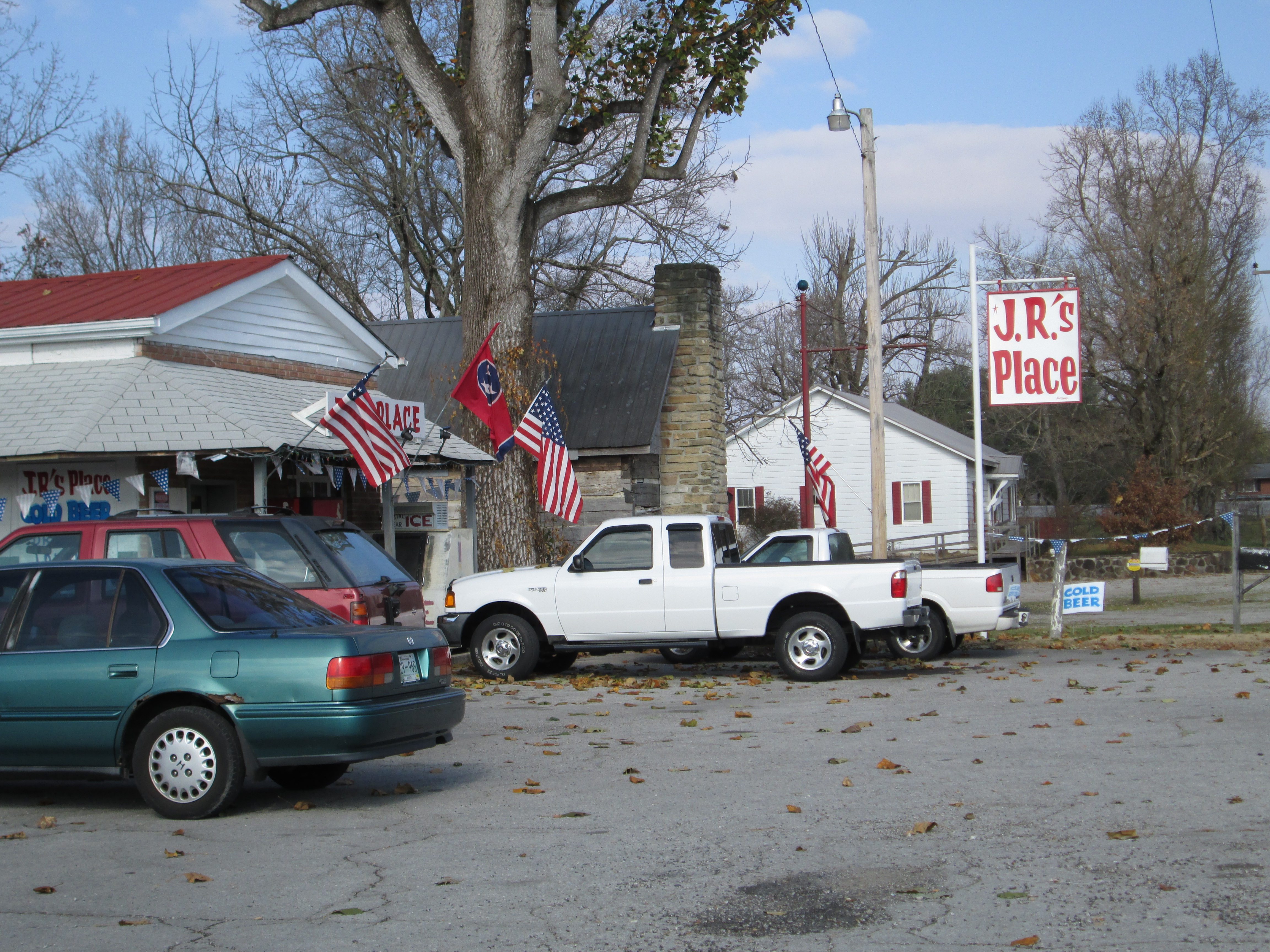
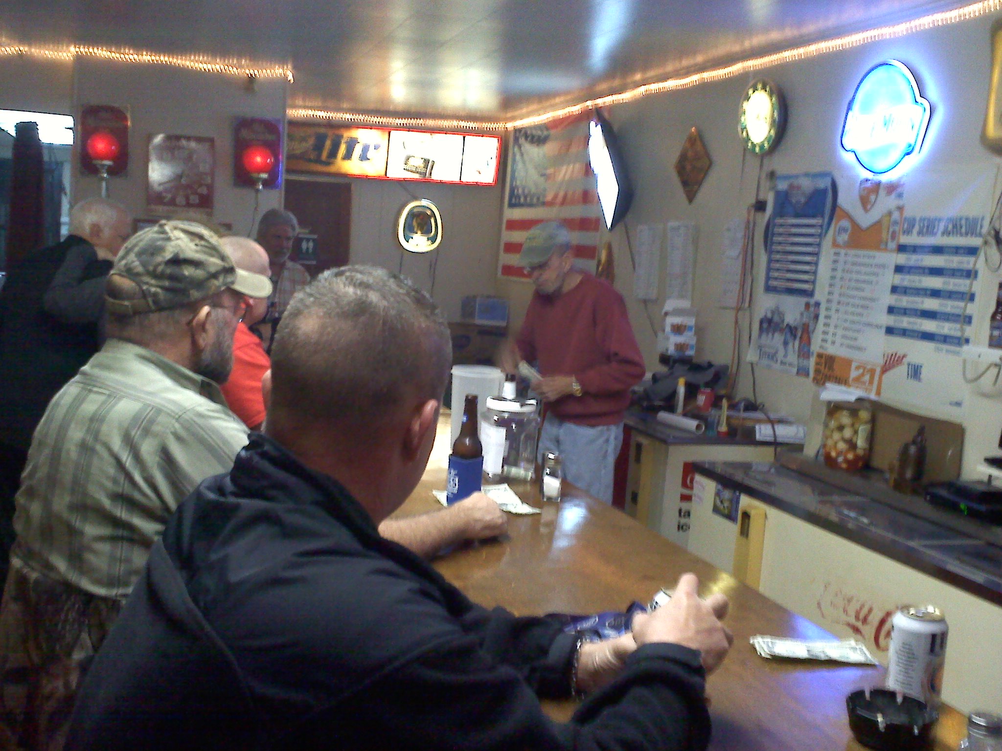
JR’s Place in Wheat’s Curve
One more good reason to slow down at Wheat’s Curve is JR’s Place. Known for ages as Webb’s Package Store, and operated for decades by WWII POW, Carl Webb and wife Margie. Jimmy Ray Cantrell purchased the business last year and has converted it to a friendly tavern complete with a great selection of brew, karaoke, and various entertainment offered by local talent. I suggest that you try the “Third Shift” beer, but watch out for the boiled eggs that are soaking in napalm – – but I guess that fiery flavor sells a lot of brew.
Cheers
[mashshare]
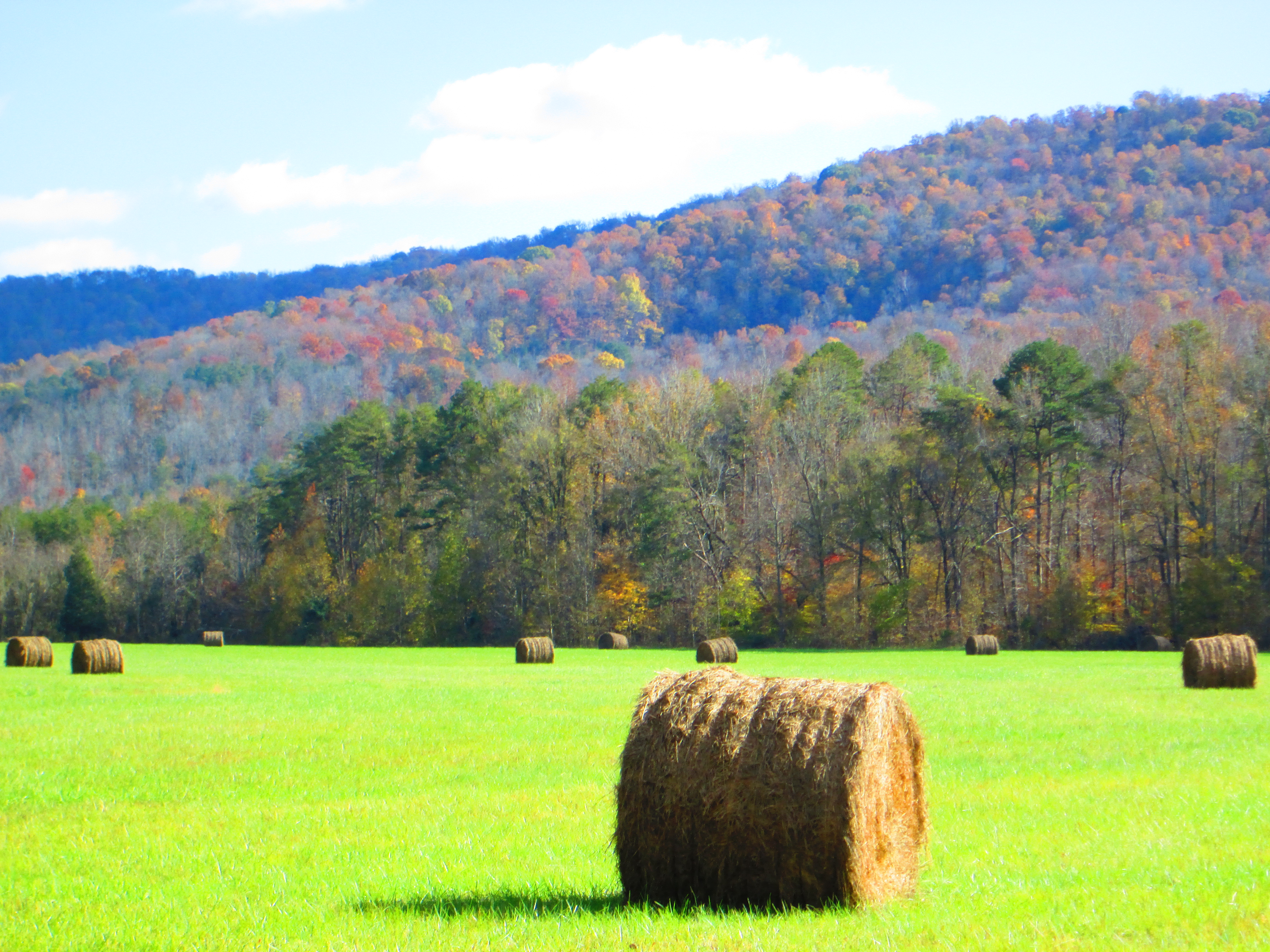
 Driving old highway 70 from Sparta, TN to Rock Island is like moving backward through time. The path of one of the oldest roads through the state, The Old Kentucky Road, intermittently crosses the newer, now bypassed, highway seventy and the architecture along the way reflects that history. Some of the plantation homes you pass were clearly here before the Civil War.
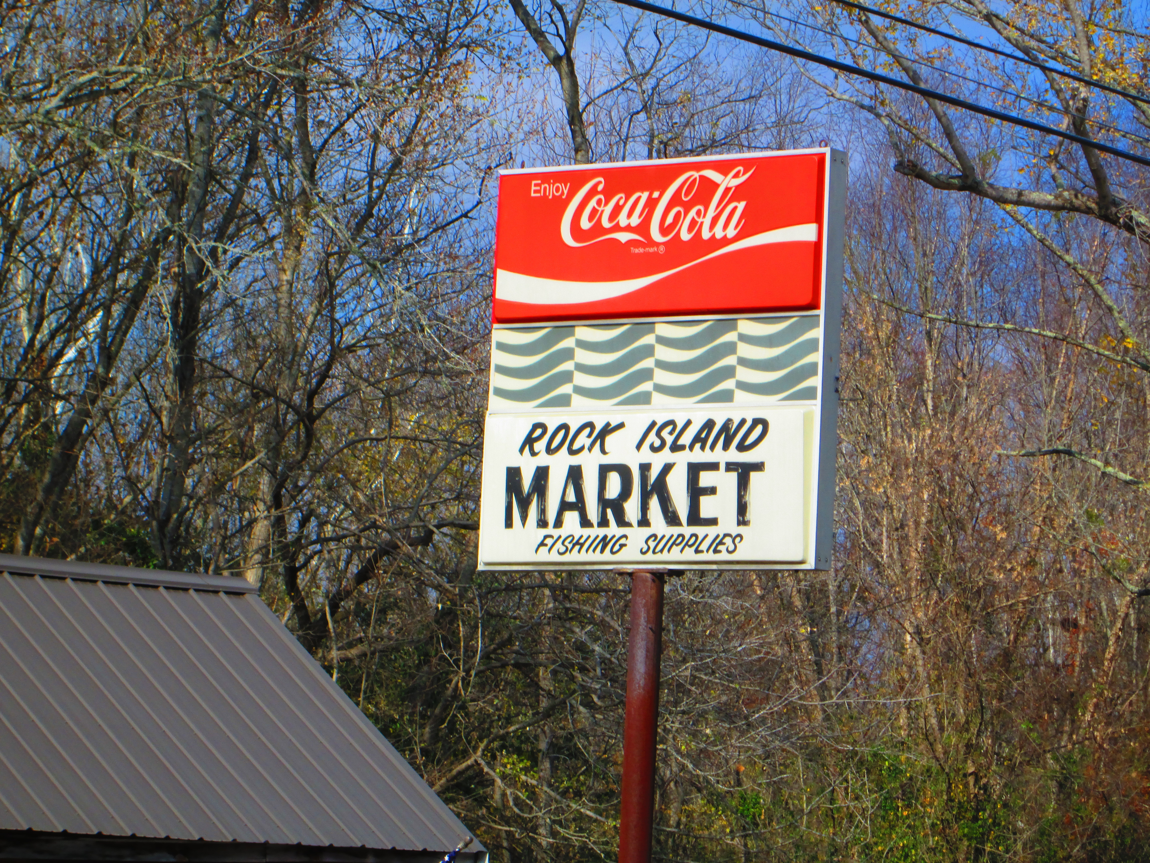
I normally drive this road when I am going to visit Rock Island State Park. But today, I am driving it because I am craving home cooking. The Rock Island Market is an unlikely place to expect a good meal. As you drive past, it looks like the kind of convenience store that sprang up everywhere during the nineteen seventies. But anywhere near meal time, the parking lot is jam packed – – those folks ain’t folks shopping for groceries. You enter the restaurant through a side door in the market and are greeted by a 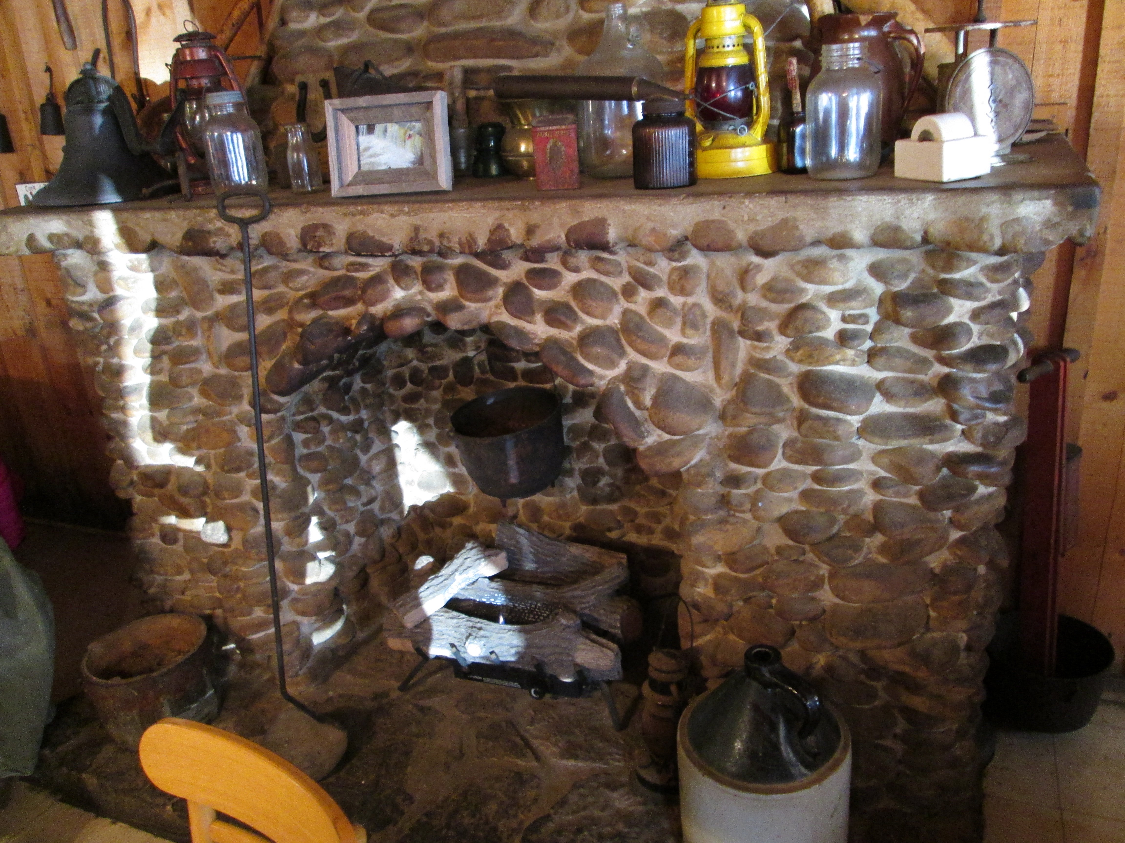 stone fireplace that Cracker Barrel would be proud to display.
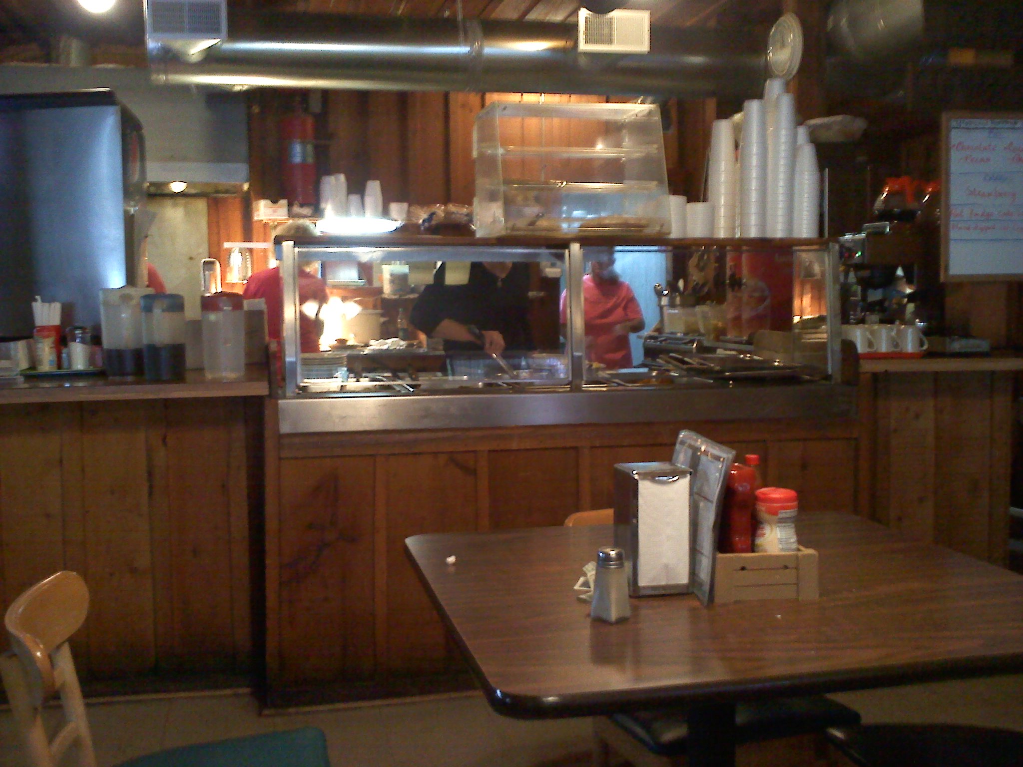
There is a cafeteria-style buffet straight ahead to display the daily specials, but you sit down to be served – – and the service is as good as the food; and the price even makes it better. So the next time that you are missing grandma’s or mom’s home cooking, take a deep breath and a slow drive to one of the better diners that I’ve been in for a long long time. You won’t regret the trip.
[mashshare]
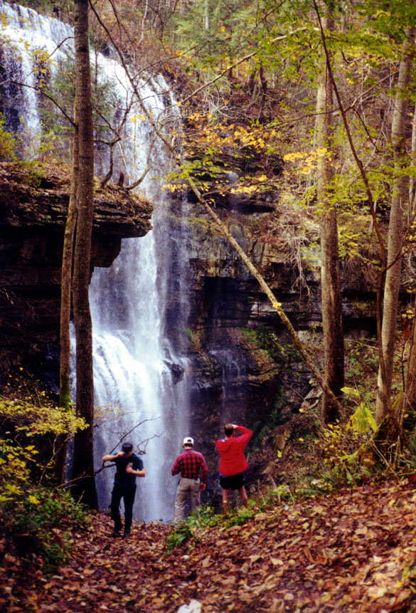
Cane Creek, Fall Creek Falls

Cane Creek, Fall Creek Falls
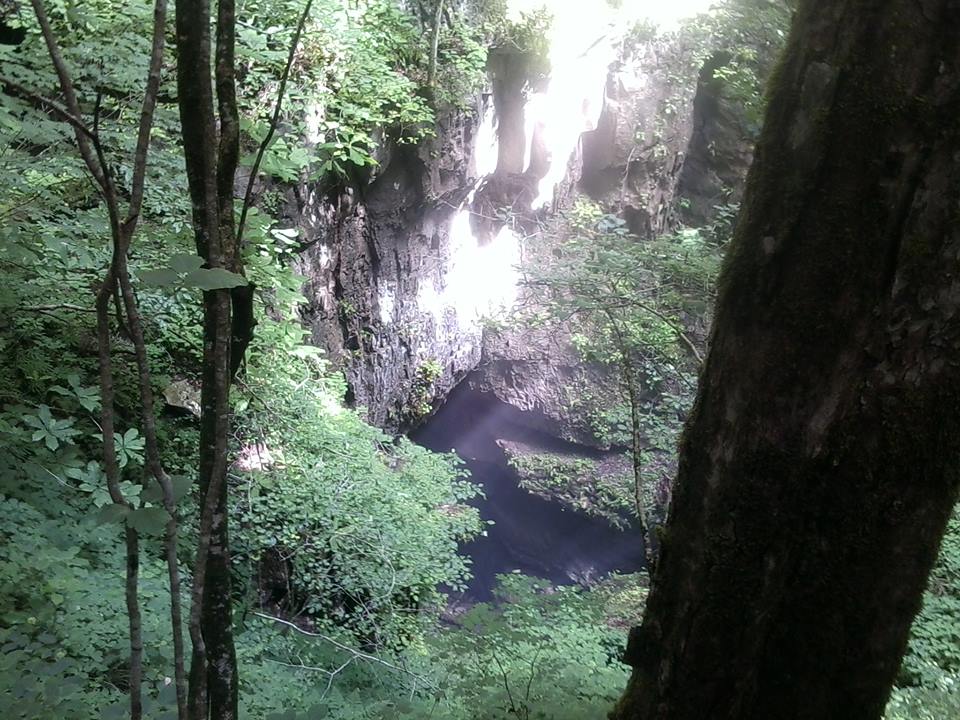
Mill Hole, from Big Bottom
Caney Fork River, near Big Bottom
Lot’s Wife?
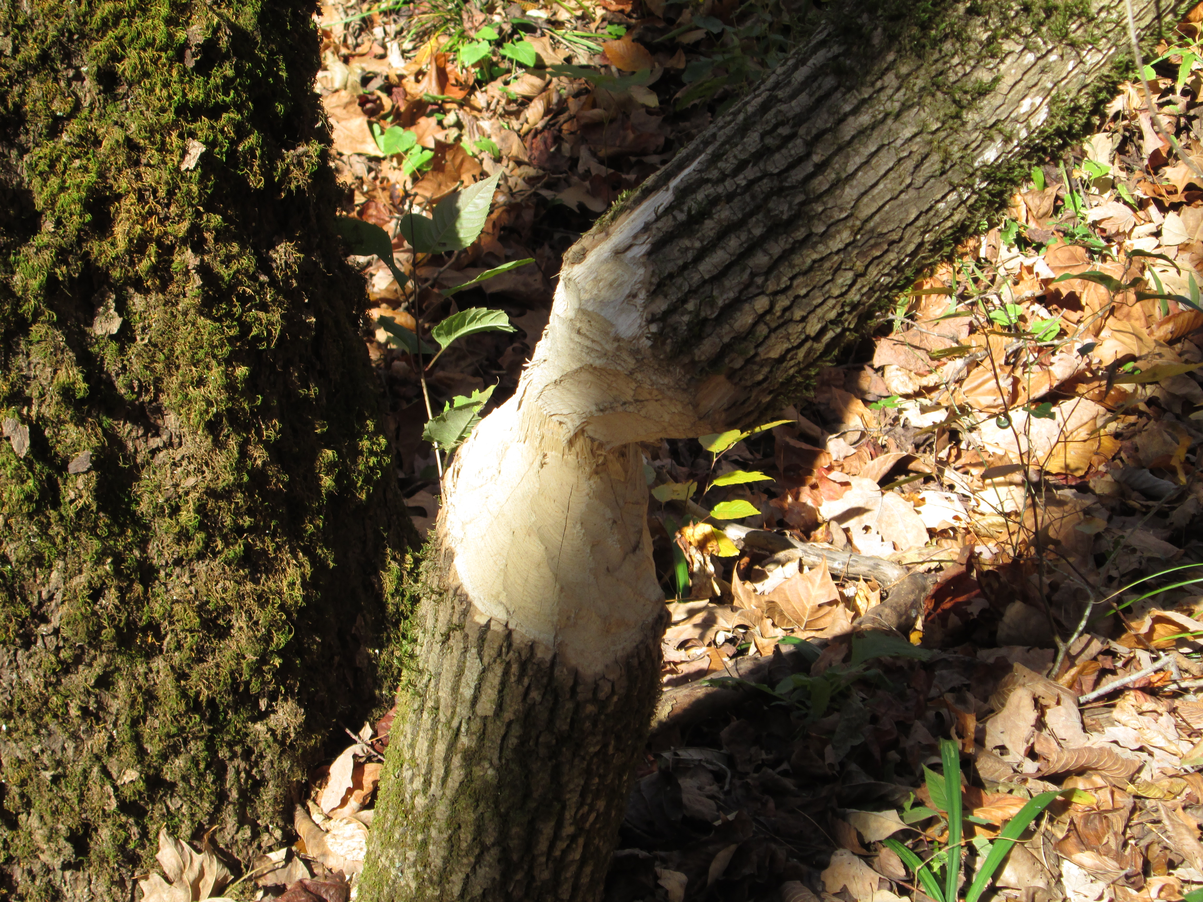
Leave it to Beaver
[mashshare]
Photographer unknown . .
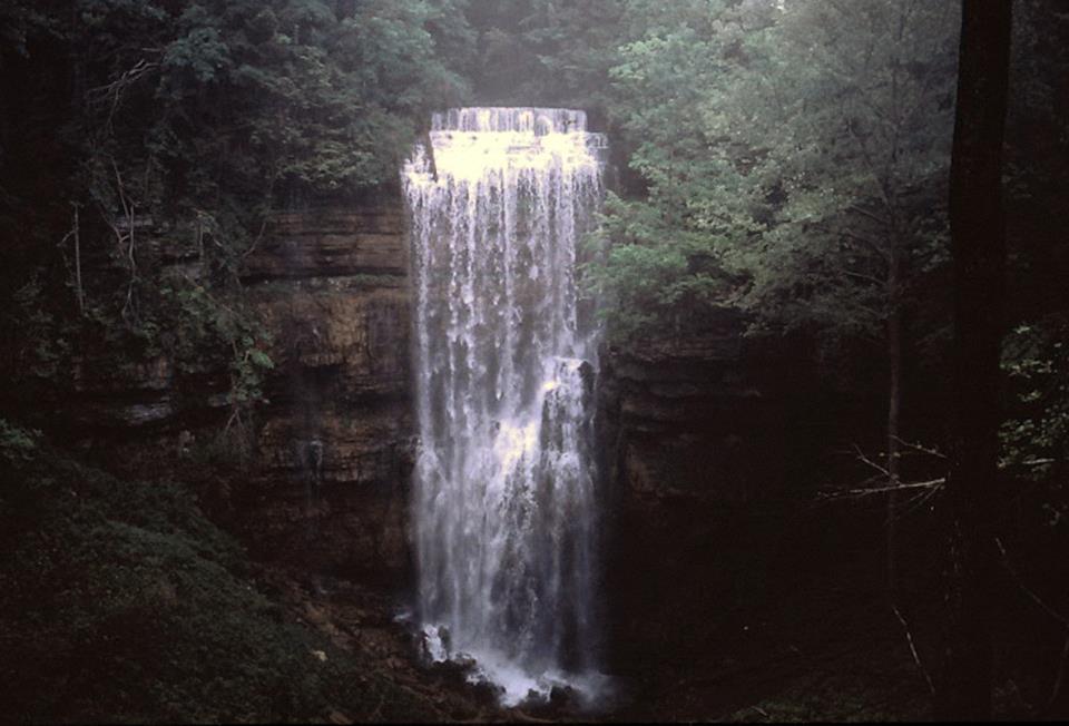
Virgin Falls, near Sparta TN, is the crown jewel of trekking beauty. The creek feeding Virgin Falls comes out of Little Chestnut Mountain, runs about 150 feet, plummets 110 feet, and disappears into the same mountain from whence it came. Rumors have it that no one knows where the water comes from or where it goes – – I know the source and hope to be able to announce it in the upcoming months. Perhaps, one of the most unique things about the lack of a visible creek entering or exiting Virgin Falls – – is that Virgin Falls is not so unique; there are four other waterfalls within five miles that similarly do not have streams leading to them, or out of them. The second most popular is known as Lost Creek, the falls where the remake of “The Jungle Book” was filmed.
Part of the intrigue about visiting Virgin Falls is the considerably-rugged 4.8 mile trail leading to the namesake of this wilderness area. The first third of the trail is rough which unfortunately makes the last third even rougher. The majority of the 1300’ elevation change that takes place along this trail is within the first 1.5 miles of the trail head. Thus, when returning, you are climbing out the last third, not to mention the first mile includes a stream that is often not fordable without getting wet.

Big Laurel Falls by Chuck Sutherland
One saving grace about this rugged trail is that there are two more attractions that you encounter while venturing to Virgin Falls. either of these attractions alone would make it worth the trip. The first is Big Laurel Falls. Big Laurel Falls is the result of the above-mentioned stream that just drenched you while you were fording it, dropping over the mouth of a sizeable cave entrance and disappearing into that cave – – thus there is no downstream after the falls – – and this is often a huge volume of water.
Sheep Cave, courtesy Tim Wooton
The second “main” attraction along the trail is Sheep Cave. Sheep cave rests in a mysterious looking sink that somehow invites you to drop off the main trail and check out the bottom. The descent is steep, but can be done without rope; however, you are going to wish that you had a rope on the return.
Lastly, is the waterfall that gave this wilderness its name, Virgin Falls. There has not been a season when I’ve seen this falls that it is not spectacular. Once, in the winter it had been below freezing for five days. The trip in was almost like a black and white movie; mostly devoid of color. But, with the leaves off the trees you get to see some beautiful karst topography that you don’t get to see otherwise. And, after several days of temperatures in the teens, the mist rising off the warm water from the cave freezes on every plant stem within thirty yards of the falls. When the sun hits it, it is like looking at a giant glass menagerie and sometimes the refraction is blinding.
Virgin Falls, courtesy Ross Cardwell
“But wait, there’s more.” There are two three more side attractions that you should see while you are at Virgin Falls. The first is, while at the main falls, take a few minutes to hike down to the headwaters of the Caney Fork River – – if you are lucky enough to have a fishing pole, even better. The second side-track is a spur trail that leads off the main trail up a steep ascent to Martha’s Pretty Point. Finally, when you have made it back to your car – – exhausted; turn right out of the parking lot, follow the fork to the right about four miles and visit Welch’s Point; this is one of the most spectacular overlooks in Tennessee and has only recently been opened to the public. Now, you can drive within 400’ of the escarpment – – especially a blessing if you’ve just come off the Virgin Falls Trail.
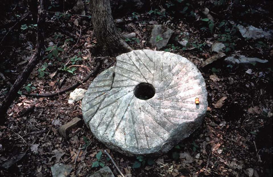
Mill Stone at Virgin Falls, Courtesy of Ross Cardwell
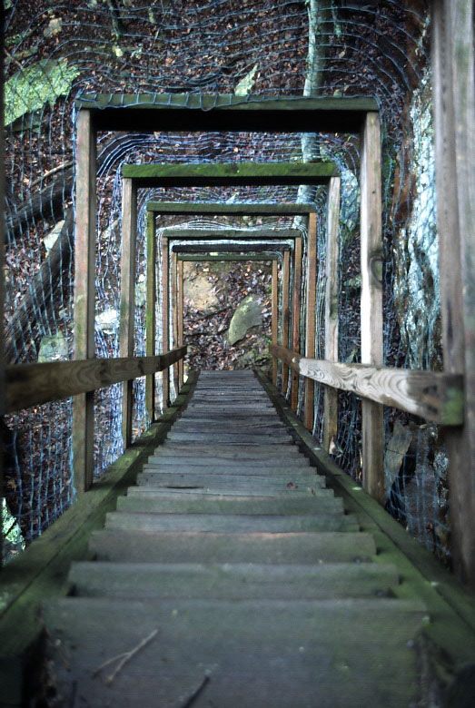
Stair/Ladder, Courtesy of Ross Cardwell
[mashshare]